
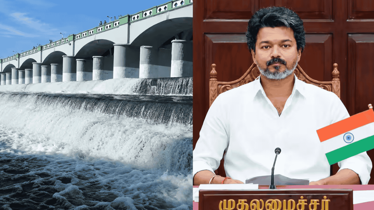
UPSC Current Affairs Daily GK Update: Mekedatu Dam Project, Cauvery Water Sharing Dispute, and Environmental Impact
Executive Overview and Recent Legal Developments
The proposed Mekedatu Balancing Reservoir and Drinking Water Project across the Cauvery River in Karnataka has emerged as a crucial issue in contemporary Indian hydro-politics, environmental governance, and constitutional federalism. Planned in the Ramanagara district of Karnataka—approximately 100 to 110 kilometers south of Bengaluru and nearly 3.90 kilometers upstream from the inter-state boundary with Tamil Nadu—the multi-purpose project has intensified longstanding disputes between upper and lower riparian states in the Cauvery basin.
The primary mandate of the project, executed by Cauvery Neeravari Nigam Limited (CNNL), is to build a balancing reservoir with a gross storage capacity of 67.16 Thousand Million Cubic feet (TMC) (approximately 59.46 TMC live storage). The project aims to secure 4.75 TMC of dedicated drinking water for the rapidly expanding Bengaluru Metropolitan Region and generate 400 Megawatts (MW) of hydroelectric power. However, the proposal faces strong opposition from Tamil Nadu, which argues that any upper riparian storage structure threatens downstream flows mandated by judicial awards.
In recent legal proceedings, the Supreme Court of India dismissed a review petition filed by Tamil Nadu challenging the project's preliminary steps, ruling that the petition was premature. The apex court clarified that because the Detailed Project Report (DPR) remains under technical evaluation by statutory expert bodies—specifically the Central Water Commission (CWC) and the Cauvery Water Management Authority (CWMA)—adjudication on downstream rights cannot precede statutory appraisals. Meanwhile, the Tamil Nadu State Legislative Assembly unanimously adopted resolutions opposing the project, underscoring the deep political and federal sensitivities surrounding transboundary water management. Aspirants can review detailed analysis on statutory river authorities on the Atharva Examwise Inter-State Water Disputes Notes Portal.
Engineering Parameters and Core Objectives of the Mekedatu Project
The term Mekedatu translates to "Goat's Leap" in Kannada, referring to a narrow deep gorge where the Arkavati River meets the main channel of the Cauvery River. The project envisions a concrete gravity dam standing near the gorge with a Full Reservoir Level (FRL) designed at 440 meters above sea level.
Project Engineering Specifications
| Project Parameter | Technical Specification / Attribute |
|---|---|
| Location | Mekedatu Gorge, Ramanagara District, Karnataka (Confluence of Cauvery & Arkavati Rivers) |
| Distance to Inter-State Border | ~3.90 km to 5.0 km upstream of the Tamil Nadu border (Biligundlu gauging station) |
| Gross Storage Capacity | 67.16 TMC (1,901.97 Million Cubic Meters) |
| Drinking Water Allocation | 4.75 TMC dedicated for Bengaluru Metropolitan Region |
| Power Generation Capacity | 400 MW Hydroelectric Power (650.28 MU annually at 90% dependability) |
| Total Land Requirement | 5,252.40 Hectares (~12,000 Acres) |
| Total Submergence Area | 4,996.00 Hectares |
| Estimated Project Cost | Approximately ₹9,000 Crore |
| EIA Category | Category 'A' (Mandatory MoEFCC Central Environmental Clearance) |
Key Facts for Competitive Exams
Primary Purpose: Designed as a balancing reservoir to harness unallocated monsoon floodwaters (such as those recorded during 2018) while fulfilling Bengaluru's drinking water needs and producing renewable energy.
Dam Infrastructure: Consists of a concrete gravity dam with a central spillway equipped with radial gates and a flip bucket energy dissipator.
Power Plant: Features an underground powerhouse containing three distinct caverns to host turbines generating 400 MW of hydroelectric power.
Water Transfer: Utilizes a Jackwell-cum-pump house on the foreshore of the reservoir alongside rising mains to transport 4.75 TMC of raw drinking water toward Bengaluru.
Inter-State Hydro-Politics: Arguments and Judicial Framework
The hydro-political dispute between Karnataka (upper riparian) and Tamil Nadu (lower riparian) revolves around historic water allocation judgments, seasonal flow variability, and the doctrine of equitable utilization. Under Indian constitutional jurisprudence, inter-state rivers are designated as national assets, meaning no single state can claim exclusive ownership over their waters.
Evolution of the Cauvery Legal Framework
Water allocation in the Cauvery basin was determined by the Cauvery Water Disputes Tribunal (CWDT) in 2007 and modified by a landmark Supreme Court judgment in February 2018.
| Basin State / Parameter | CWDT Final Award (2007) | Supreme Court Judgment (2018) | Key Legal Adjustment & Context |
|---|---|---|---|
| Tamil Nadu | 419.00 TMC | 404.25 TMC | Reduced by 14.75 TMC after accounting for available groundwater |
| Karnataka | 270.00 TMC | 284.75 TMC | Increased by 14.75 TMC specifically for Bengaluru's drinking water |
| Kerala | 30.00 TMC | 30.00 TMC | Maintained without alteration |
| Puducherry | 7.00 TMC | 7.00 TMC | Maintained without alteration |
| Environmental Protection Flow | 14.00 TMC | Integrated into ecosystem flow | Reserved to sustain the ecological health of the river corridor |
| Annual Target Release at Biligundlu | 192.00 TMC | 177.25 TMC | Quantum Karnataka must release to Tamil Nadu in a normal year |
Divergent Perspectives of Upper and Lower Riparian States
Karnataka contends that drinking water holds top priority under the National Water Policy, asserting that the project will store only surplus monsoon runoff without tapping into Tamil Nadu's allocated share. The state maintains that the balancing reservoir will help regulate releases to ensure Tamil Nadu receives its mandated 177.25 TMC annual allocation at Biligundlu in a predictable, controlled manner. Aspirants can study inter-state federal conflicts in detail on the Atharva Examwise Indian Polity Mains Resource Hub.
Conversely, Tamil Nadu argues that constructing a storage reservoir close to the state border gives Karnataka control over downstream flows. Tamil Nadu fears that during lean or drought years, Karnataka will prioritize filling the Mekedatu reservoir, delaying water releases crucial for the Samba rice crop in the Cauvery delta. Furthermore, Tamil Nadu contends that under the CWDT award, no basin state may build new dams or storage structures without the explicit consent of co-riparian states and clearance from the CWMA.
Ecological Impact and Environmental Concerns
Beyond water-sharing controversies, the Mekedatu project presents serious environmental challenges involving forest submergence, habitat fragmentation, and threats to endangered species.
Land Submergence Breakdown
The project requires 5,252.40 hectares of land, of which 4,996 hectares will be completely submerged under the reservoir's foreshore. Over 98% of the designated project area consists of protected forest land:
Cauvery Wildlife Sanctuary Submergence: 3,181.90 hectares of protected sanctuary land will be submerged.
Reserve Forest Area: 1,869.50 hectares of reserve forest land will be lost to the reservoir.
Revenue Land: 201.00 hectares of revenue land across five villages—Sangama, Kongedoddi, Madavala, Muthathi, and Bommasandra—will be inundated, requiring land acquisition and resettlement.
Infrastructure Zone: 256.40 hectares will be utilized for dam construction, underground powerhouses, and access roads.
Biodiversity and Wildlife Corridor Disruption
The submergence zone falls within the core habitat of the Cauvery Wildlife Sanctuary, a critical ecological bridge connecting the Western and Eastern Ghats. Key biodiversity concerns include:
Elephant Migratory Corridor: The region serves as a major transit route for Asian Elephants (Elephas maximus). Inundating this corridor risks fragmenting herd movements and increasing human-elephant conflicts in adjacent agricultural belts.
Habitat Loss for Threatened Species: The sanctuary provides critical habitat for Bengal Tigers, Leopards, Sloth Bears, Honey Badgers (Ratel), and the Grizzled Giant Squirrel (Ratufa macroura)—a near-threatened species whose canopy habitat along river banks faces fragmentation.
Aquatic Ecosystem and Endemic Species: Altering the natural flow of the river threatens the survival of the Hump-backed Mahseer (Tor remadevii), a critically endangered freshwater fish endemic to the Cauvery basin that depends on free-flowing river stretches to spawn.
Due to its placement inside a protected wildlife sanctuary and its proximity to an inter-state border, the project is classified as a Category 'A' Project under the Environmental Impact Assessment (EIA) Notification, 2006. Consequently, it requires environmental clearance from the Ministry of Environment, Forest and Climate Change (MoEFCC) alongside wildlife clearance from the National Board for Wildlife (NBWL). Candidates can access environmental protection study material on the Atharva Examwise Environment & Biodiversity Section.
Hydrological Profile of the Cauvery River System
Understanding the physical geography of the Cauvery River is essential for tackling Prelims mapping questions and Mains questions on peninsular river systems.
| Attribute | Hydrological & Geographical Details |
|---|---|
| Origin / Source | Rises at Talakaveri in the Brahmagiri Range of the Western Ghats, Kodagu District, Karnataka (~1,341 m elevation) |
| Total Length & Course | Traverses ~800 km in a southeasterly direction through Karnataka (320 km) and Tamil Nadu (357 km) before draining into the Bay of Bengal at Poompuhar |
| Basin Area Coverage | Covers ~81,155 to 87,900 sq km spanning Tamil Nadu (54%), Karnataka (42%), Kerala (3.5%), and Puducherry (0.5%) |
| Left-Bank Tributaries | Harangi, Hemavati, Shimsha, and Arkavati |
| Right-Bank Tributaries | Lakshmana Tirtha, Kabini, Suvarnavathi, Bhavani, Noyyal, and Amaravati |
| Precipitation Regime | Western catchment receives rainfall from the South-West Monsoon (June–Sept); eastern catchment receives rainfall from the North-East Monsoon (Oct–Dec) |
| Key Dams & Reservoirs | Krishna Raja Sagara (KRS) and Kabini in Karnataka; Mettur Dam (Stanley Reservoir) in Tamil Nadu |
For additional official updates on national river development projects, candidates can visit the official site of the Central Water Commission (CWC) and review environmental regulatory frameworks through the Ministry of Environment, Forest and Climate Change (MoEFCC).
Why This Matters for Your Exam Preparation
The Mekedatu Dam dispute offers an interdisciplinary case study relevant across multiple sections of the Civil Services Examination:
UPSC CSE General Studies Paper 1 (Indian Geography): Direct relevance to physical geography, river basin dynamics, peninsular drainage patterns, left/right bank tributaries, and the ecological footprint of major river-valley infrastructure projects.
UPSC CSE General Studies Paper 2 (Polity & Governance): Directly applicable to topics covering inter-state water disputes under Article 262, the Inter-State River Water Disputes Act (1956), federal water governance, statutory regulatory authorities (CWMA, CWC), and judicial intervention in transboundary resource management.
UPSC CSE General Studies Paper 3 (Environment & Ecology): Informs topics on Environmental Impact Assessment (EIA Category 'A' projects), biodiversity loss, forest diversion laws, wildlife corridors, and balancing urban water security with ecological conservation.
UPSC CSE Prelims (Current Affairs & Mapping): Essential for location-based questions regarding the Cauvery River system, national parks, wildlife sanctuaries (Cauvery Wildlife Sanctuary), endemic species distributions (Hump-backed Mahseer, Grizzled Giant Squirrel), and inter-state border geography.